The Result
Once Optimization was enabled, the five-intersection corridor produced measurable mobility, safety, and sustainability gains while operating within City-defined policies. Corridor delay decreased 24%—about 178,000 vehicle-hours saved annually—supporting an estimated $35.4M in total economic value and a 280:1 benefit-cost ratio. Optimization Mode leverages predictions to evaluate thousands of potential future traffic scenarios in real-time to optimize traffic flow, reduce congestion, and improve overall transportation efficiency and safety.
Performance improved where it mattered most for day-to-day operations: through-movement delay on NW 39th St dropped 36%, side-street delay dropped 17% (side-street left turns down 28%), and weekend delay dropped 45%. Safety and environmental outcomes moved in the right direction as well, with red-light running events down 11% and an estimated 14,000 metric tons of CO₂ eliminated over five years (≈608 vehicles’ worth per year). “Arrivals on green” also increased at multiple intersections by 4-5 percentage points, reinforcing better corridor progression.
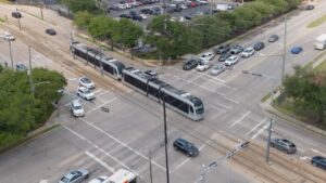
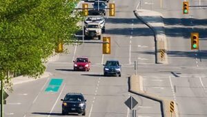
Five signalized intersections on NW 39th St (Ann Arbor, Meridian, Tulsa, Portland, St. Clair) were optimized on a high-volume corridor serving a nearby I‑44/SH‑3/SH‑74 interchange.
| Metric | Improvement |
| Overall Delay | Reduced 24 % |
| Delay at Key Location: NW 39th & N Meridian (WB/EB) | Reduced 41 % |
| Weekend Delay | Reduced 45 % |
| Through-movement delay (NW 39th St) | Reduced 36 % |
| Red-Light Running | Reduced 11 % |
| AM Peak Delay | Reduced 11 % |
| PM Peak Delay | Reduced 20 % |
| Total Economic Value * | Over $35 M |
| CO₂ Reduction ** | Over 14,000 mt |
| CO₂ Reduction (tree-equivalents) ** | 130,000 |
Bringing Back the Love for the Drive
Oklahoma City’s NW 39th St, aka Route 66, results show what NoTraffic Optimization can do for agencies that need faster wins than capital projects can deliver. It can continuously optimize cycle length, splits, and offsets based on real-time demand—while respecting agency policies—so corridors run more predictably without adding lanes.
“We are always looking for ways to use new technology to improve overall safety for all roadway users and optimize efficiency at intersections which helps residents enjoy smoother commutes with reduced travel time delays. This deployment is an important step forward as we modernize how people move through our city,” said Stuart Chai, the City’s Traffic Engineer.
It also gives signal teams the measurement framework to manage performance as an ongoing program: quantify corridor and movement-level delay, validate progression improvements (like arrivals-on-green), and track operational safety indicators such as red-light running. For cities with directional peaks, weekend surges, and constrained staff time, this is a practical way to modernize operations using existing infrastructure and prove benefits in dollars, time, and emissions.
NOTES:
* Total Economic Value represents time and gas savings over the initial 5-year warranty plus operational savings related to signal re-timing, included data and analytics package, persistent camera installation, and NOC support
** Over initial 5-year warranty period